


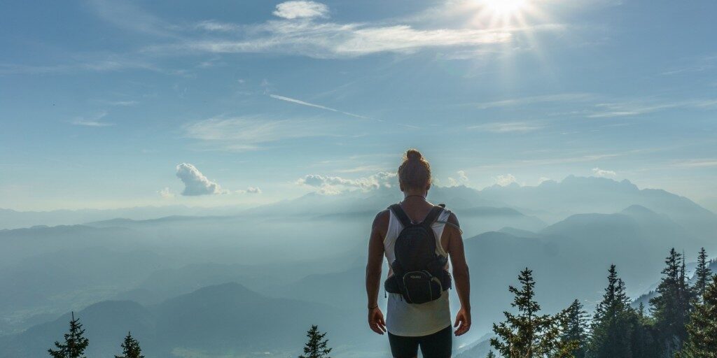
Surrounded by the wonderful landscape of the Central Apennines, Terminillo is the ideal location for holidays dedicated to walks and hiking. Easy and medium level well-remarked and maintained paths offers extraordinary and unforgettable panoramic views to adults and children. Start now your unique experience in contact with nature.
During summertime Terminillo offers tourists numerous pathways among pristine natural beauties, as many as 42 paths to go through, discovering the splendid flora and fauna that enriches the territory.
Discover the route that is right for you and start your high-altitude holiday!
Lisciano – Pian de’ Valli
From Lisciano Alto (610 m), 7 km. from Rieti, to Pian de ’Valli (m. 1614), passing through Pian de’ Rosce (m. 1115), follow the “Sentiero del Duce”, the historical trail that generations of mountaineers rode along to reach peak of the mountain.
Duration: 3.30 hours – Level: Easy
Lisciano – “La Fossa” Hut
This pathway start from Lisciano Basso (550 m) and, passing through Fosso di Lisciano and Palestra di Roccia, leads to the Legambiente Hut called “La Fossa” (1505 m), where it crosses the path that leads to Pian de ‘Valli.
Duration: 4 hours – Level: Easy
Sella di Vall’Organo – Terminillo
A path that leads to one of the most beautiful peaks of the Appennines, Terminillo (m. 2216), starting from Sella di Vall’Organo (m. 1850) and passing through Cresta Sassetelli (m. 2079) and Vetta Sassetelli (m. 2139).
Duration: 2 hours – Level: Medium
Lugnano – Tre Faggi
Shortly before entering the town of Lugnano (m. 735), about 10 kilometers from Rieti, here starts a path which, along the Vallone di S. Croce and passing through Fonte Lancino (m. 1404), leads to the first square of Terminillo, the Tre Faggi Square (m.1550).
Duration: 3 hours – Level: Easy
Leonessa – Pian de’ Valli
The pathway starts From Leonessa (m. 969), near the municipal car park, and goes through Fondo del Laghetto (m.1492), Fontanile Porcareccia (m.1530), Monti Versanello (m. 1500), Passo del Lupo ( m 1690), Sella di Cantalice (m. 1545), Sella di Vall’Organo (m. 1850), Legambiente Hut “La Fossa” (m. 1505) arriving at Pian de ‘Valli (m. 1614); at Sella di Vall’Organo the path crosses the one that leads to the Terminillo’s mountain peak.
Duration: 8/9 hours – Level: Medium
Case L’Oste – Campo Stella
From the so-called Case L’Oste (836 m.), near the small village of Capo La Terra, in the municipality of Cantalice, this natural path is characterized by a dirt road that passes through the Castiglioni Hut (m. 1391) and the Sella di Cantalice (m. 1545) and leads to Campo Stella (m. 1341). Once in Sella di Cantalice, the path crosses the other one that goes through Fonte Acqua Santa, descends towards the Ligaments Hut “La Fossa” and returns to Pian de ’Valli.
Duration: 5 hours – Level: Easy
Sentiero Planetario
The Terminillo Mountain Planetary Trail is an astronomy-themed nature trail. With its 7.7 km, it is among the longest existing today in Italy. This connects Tre Faggi Square in Pian de ‘Valli to the “Angelo Sebastiani” CAI hut.
Follow the link below for further information.
